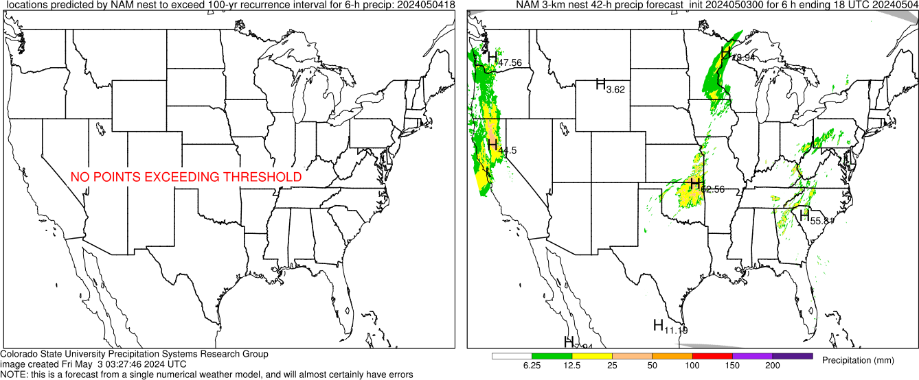
Monitoring of heavy precipitation forecasts
These images show locations where the 100-year recurrence interval for 6-h precipitation is predicted to be exceeded by various convection-allowing numerical models. These forecasts will almost certainly have errors, but it can provide guidance as to where the models are predicting extreme rainfall.
Switch to a different threshold:
Hover mouse over a model to see its forecast for this time
NAM 3-km nestCSU 4-km WRFNCEP HIRESW/ARWNCEP HIRESW/NMMB


