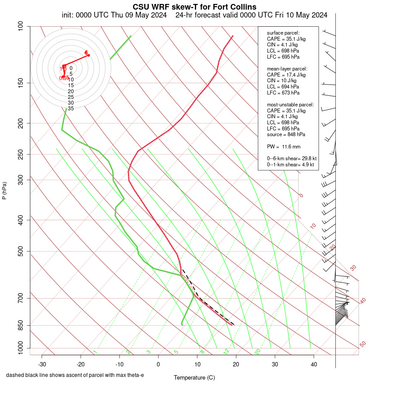
CSU 4-km WRF model forecasts
The current run was initialized at 0000 UTC Friday March 27 2026.


DISCLAIMER: The images and data on this site are intended for meteorological education and research purposes and, although they should generally be up to date, are not monitored at all times. Do not use for making decisions where money or lives are at stake. For official forecasts and warnings, visit the National Weather Service.


