Colorado State University
Real-Time Weather Data
Precip. Sys. Research Group
Colorado State University
Real-Time Weather Data
Precip. Sys. Research Group
Colorado State University
Real-Time Weather Data
Precipitation Systems Research Group
Skip navigation
  • Home
  • Quick Looks
    • Fort Collins
    • WxC Site
  • CSU WRF Forecasts
    • 12-km Ensemble: CO
    • 12-km Ensemble: WxC Site
    • 12-km Forecast Soundings
    • 12-km Upper Level Charts
    • 4-km Forecast
    • 4-km Forecast: WxC Zoom
    • 4-km Forecast: RELAMPAGO
    • 4-km Forecast Soundings
    • 12-km Model Information
    • 4-km Model Information
    • BWW Model Information
  • Model Forecasts
    • GFS
    • NAM
    • GEFS
    • SREF
    • NAM 3-km Nest
    • HRRR
    • Extreme QPF Monitor
    • Extreme QPFs (MLearning)
    • Severe Weather (MLearning)
  • Heavy Precip
    • Original (Atlas 40)
    • New (Atlas 14)
    • QPF (Forecasts)
    • TORFF Identification
  • Links
    • Fort Collins Weather Station
    • Christman Field Wx Station
    • CoAgMET
    • NWS Denver/Boulder
    • NWS Cheyenne
    • CIRA SLIDER satellite imagery
    • Local Radar Loop
    • Fort Collins Rain Gauges

Case 3

NOTE: all data at 1200 UTC at the start of the period of interest. Data sources: NCAR, SPC, WPC


Surface
    sfc

Upper-air
    500300700925850

Radar at 1200 UTC
    rad
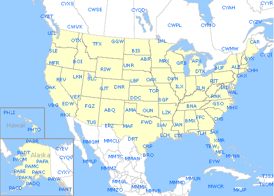
Soundings (click on map; not all soundings will be available. Thanks to NCAR/RAL for the map and example code.)
rawinsonde sites

Walter Scott, Jr.
College of Engineering
Research Group Home People Research Teaching Resources Contact
Precip. Systems Research Group
GIVE
Contact CSU Equal Opportunity Privacy Statement Disclaimer

© 2026 Colorado State University, Fort Collins, Colorado 80523 USA

© 2026 Colorado State University,
Fort Collins, Colorado 80523 USA

Colorado State University logo