Colorado State University
Real-Time Weather Data
Precip. Sys. Research Group
Colorado State University
Real-Time Weather Data
Precip. Sys. Research Group
Colorado State University
Real-Time Weather Data
Precipitation Systems Research Group
Skip navigation
  • Home
  • Quick Looks
    • Fort Collins
  • CSU WRF Forecasts
    • 12-km Ensemble: CO
    • 12-km Forecast Soundings
    • 4-km Forecast
    • 4-km Forecast: WxC Zoom
    • 4-km Forecast Soundings
    • 12-km Model Information
    • 4-km Model Information
  • Model Forecasts
    • GFS
    • NAM
    • GEFS
    • SREF
    • NAM 3-km Nest
    • HRRR
    • ECMWF
    • Extreme QPF Monitor
    • Extreme QPFs (MLearning)
    • Severe Weather (MLearning)
  • Heavy Precip
    • Original (Atlas 40)
    • New (Atlas 14)
    • QPF (Forecasts)
    • TORFF Identification
  • Links
    • Fort Collins Weather Station
    • Christman Field Wx Station
    • CoAgMET
    • NWS Denver/Boulder
    • NWS Cheyenne
    • CIRA SLIDER satellite imagery
    • Local Radar Loop
    • Fort Collins Rain Gauges

Real-time weather images for WxChallenge city (or another select city when WxChallenge is not going on)

Current city is: KMCI KANSAS CITY/INTL MO
1-km GOES visible imagery (click image for animation)
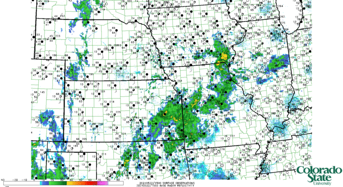
Base reflectivity mosaic and surface observations (click image for animation)
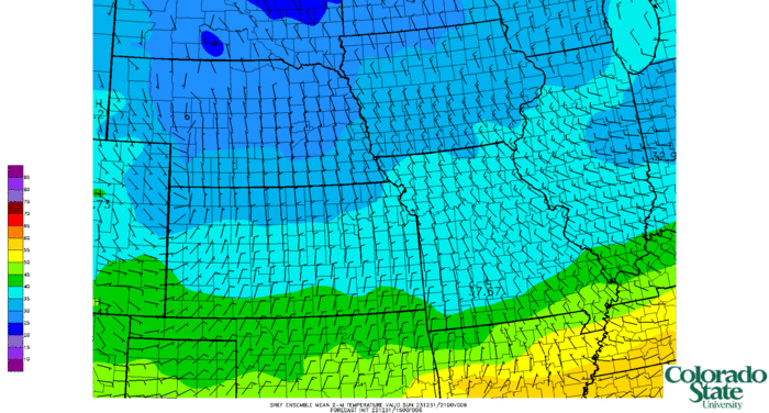
Short-range ensemble (SREF) mean 2-m temperature
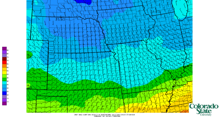
SREF bias-corrected mean 2-m temperature
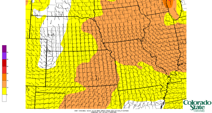
SREF mean 10-m wind speed
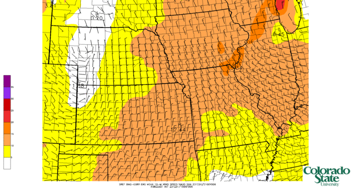
SREF bias-corrected mean 10-m wind speed
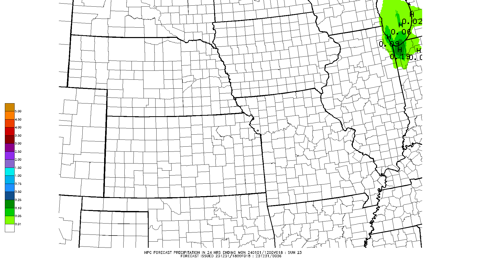
WPC 24-hr precipitation forecast (06Z--06Z WxChallenge forecast period)
NAM 3-km nest precipitation forecast (06Z--06Z WxChallenge forecast period)
NAM 3-km nest simulated reflectivity at 1000 m AGL and 10-m winds (click image for animation)
NAM 3-km nest MLCAPE and 0–6-km shear (click image for animation)
NAM 3-km nest hourly maximum updraft helicity (click image for animation)
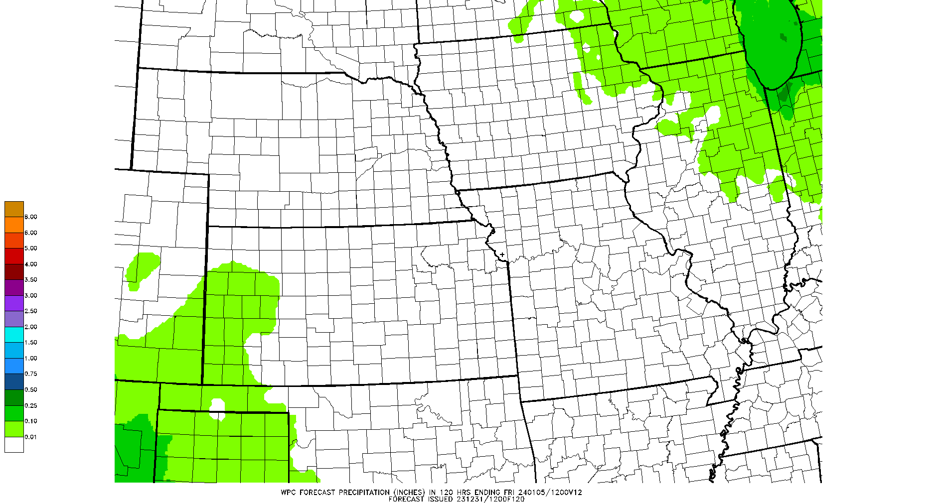
WPC 5-day total precipitation forecast
WPC 7-day total precipitation forecast
Unidata badge

DISCLAIMER: The images and data on this site are intended for meteorological education and research purposes and, although they should generally be up to date, are not monitored at all times. Do not use for making decisions where money or lives are at stake. For official forecasts and warnings, visit the National Weather Service.

Walter Scott, Jr.
College of Engineering
Research Group Home People Research Teaching Resources Contact
Precip. Systems Research Group
GIVE
Contact CSU Equal Opportunity Privacy Statement Disclaimer

© 2023 Colorado State University, Fort Collins, Colorado 80523 USA

© 2023 Colorado State University,
Fort Collins, Colorado 80523 USA

Colorado State University logo