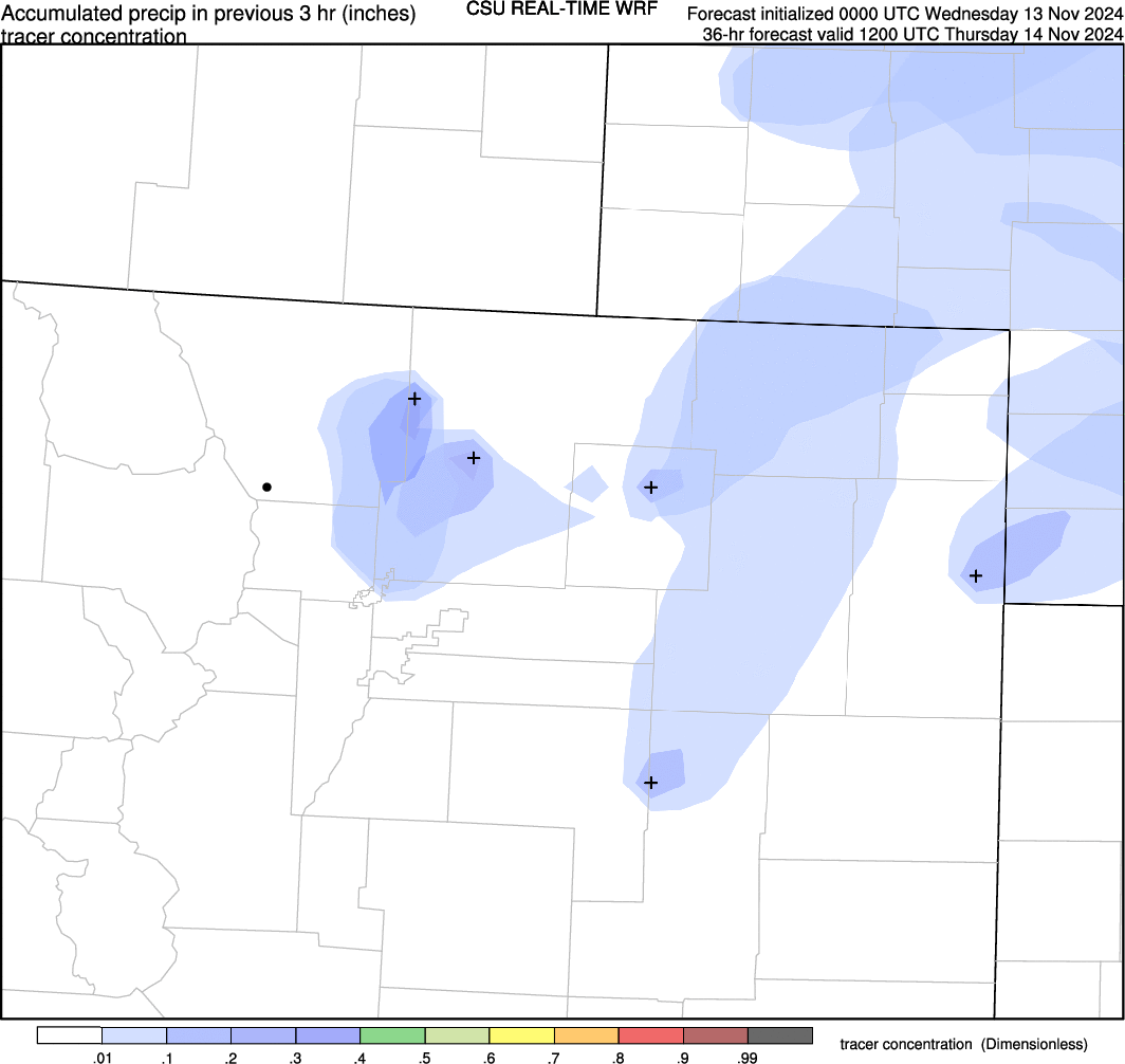
forecasts of tracer concentration from source locations in CSU 12-km WRF model runs
Left arrow for previous frame, right arrow for next, space to pause/play; click to open image in new tab
f036
f039
f042
f045
f048
f051
f054
f057
f060
f063
f066
f069
f072
DISCLAIMER: The images and data on this site are intended for meteorological education and research purposes and, although they should generally be up to date, are not monitored at all times. Do not use for making decisions where money or lives are at stake. For official forecasts and warnings, visit the National Weather Service.


