


Supercells that merge into MCSs
Supercells are rotating thunderstorms that are capable of producing tornadoes, large hail, damaging winds, and sometimes heavy rainfall. Supercells usually derive their energy from the layer of air in contact with the earth's surface, which is known as the planetary boundary layer (PBL). These storms frequently merge into MCSs during the late evening. During this merging process, their primary source of energy often shifts to layers of air above the PBL (we refer to these storms as elevated), and heavy rainfall and flash flooding becomes a bigger threat than tornadoes and damaging winds. The process of supercells merging into MCSs is commonly referred to as "upscale growth." I am working to deterime what processes are responsible for upscale growth, and to improve how well it is forecasted. Since the primarly societal threat posed by storms quickly transitions from tornadoes to flooding as upscale growth occurrs, improving forecasts is in the best interest of weather forecasters, emergency managers, and the public.
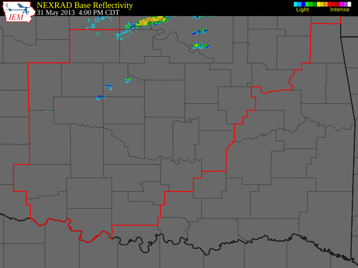
Above: Radar reflectivity loop of a cluster of supercells that merged into an MCS over the Oklahoma City Metro on the evening of 31 May, 2013. Tornado watches, warnings, severe thunderstorm watches, and severe thunderstorm warnings are overlayed. A cluster of supercells produced several tornadoes, including one deadly one prior to approximately 7:50 pm. Rain cooled air from the storms then surged southward (evident as a diffuse light blue line south of the main storm complex between 7:50 pm and 11:00 pm), and the supercells merged into an elevated MCSs. Repeated regeneration of new storms along the western flank of the MCS (known as backbuilding) led to the training of storms over the Oklahoma City Metro, and produced a deadly flash flood. This transition between tornadic storms and flood producing storms was particularly difficult for forecasters and weather models to predict.